
Town Spotlight
Pagosa Springs, Colorado
Pagosa Springs sits west of the Continental Divide and west of Wolf Creek Ski Area. The San Juan River runs through the center of town, and the wider setting is framed by San Juan National Forest and Southern Ute Indian lands. If you're trying to picture it before you arrive, start with that combination: a river through the middle, forest around the region, and a town that makes sense in relation to both. When a place has a visible waterline running right through it, orientation gets easier. You are not looking at a town that feels cut off from its surroundings. The surrounding land is part of the first impression.
Where It Sits
Pagosa Springs sits west of the Continental Divide and west of Wolf Creek Ski Area. The San Juan River runs through the center of town, and the wider setting is framed by San Juan National Forest and Southern Ute Indian lands. If you're trying to picture it before you arrive, start with that combination: a river through the middle, forest around the region, and a town that makes sense in relation to both. When a place has a visible waterline running right through it, orientation gets easier. You are not looking at a town that feels cut off from its surroundings. The surrounding land is part of the first impression.
What It's Known For
Pagosa Springs identifies natural hot springs and healing waters as a defining part of the town. The name carries that idea too: "Pagosah" is a Southern Ute word for "healing waters." That gives the town a clear center of gravity. You do not have to stretch to understand what Pagosa Springs wants you to know about itself. The healing-water identity is right there in the town's own language about the place. You see that again in the geothermal utility. In Pagosa Springs, underground heat is part of town infrastructure as well as town identity. That connection gives the town a sense of continuity instead of a one-note claim.
What You Can Do Here
Pagosa Springs works best if you like having a few solid options instead of one fixed plan for the whole day.
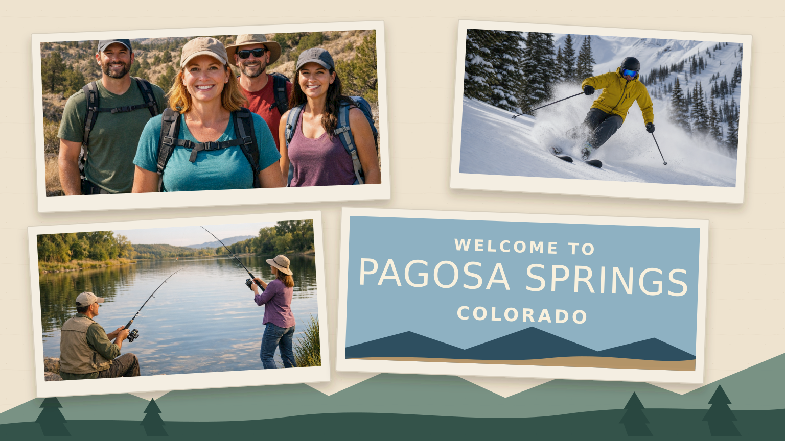
- Head into San Juan National Forest for hiking when you want the day to be about trail time and the larger landscape.
- Use that same regional access for mountain biking if you want something quicker and more physical.
- In winter, the surrounding area supports both alpine and nordic skiing.
- Closer to town, the central-area plan maps fishing access along the San Juan River corridor.
The nice part is that these activities do not all ask for the same pace. Some trips may lean harder into the forest, while others stay closer to the river and town layout. You can keep things close to town with river access in mind, or you can point outward toward the forest depending on the season. That makes Pagosa Springs easy to shape around a half day, a full day, or a stop where you want a little flexibility instead of a rigid itinerary.
The Rhythm of the Town
Pagosa Springs changes with the season in ways that are easy to notice once you know what to look for. The geothermal system typically runs from October through April. San Juan National Forest roads often open in May or June and close during December or January. Those dates mean winter and warmer-weather trips can open up different kinds of days. In one part of the year, town details tied to geothermal heat are more visible. In another, the surrounding forest usually offers a broader range of access. That is a useful rhythm to keep in mind because the town and the region do not present the same way in every season.
Local Character
One of the most distinctive details here is that the geothermal system helps keep some sidewalks clear of snow during winter. It is a small detail, but it says a lot about the place. A town can talk about healing waters; it lands differently when geothermal heat also changes an ordinary walk down the block. That makes the town feel practical rather than staged. The San Juan River adds another layer because it runs through the center of town in plain view. You have one water feature moving through the middle of town and another shaping how part of town works in winter. Here, those details do not feel separate from one another.
A Few Practical Notes
If you're getting oriented, the Visitor Center sits just across the Hot Springs Boulevard bridge downtown. Staff and volunteers are available seven days a week, and the center provides free maps. That is worth remembering because conditions around town and the surrounding forest are not always doing the same thing at the same time. In winter, some sidewalks benefit from the geothermal system, while forest-road access in the surrounding area may be more limited. Starting downtown with a map gives you an easy way to decide whether the day makes more sense close to town or farther out toward the forest. It is the kind of town where a loose plan can work well as long as you let the season help call the play.
Why It Stays With You
What tends to linger about Pagosa Springs is how consistently its defining elements keep showing up. The healing-water identity is in the name. The geothermal system is part of town operations. The San Juan River runs through the center of town. None of those details has to carry the whole place alone. Together they give the town a steady feel that is easy to remember later. Pagosa Springs does not ask you to separate the headline idea from the ordinary layout of the place. The same water-focused identity keeps turning up in the name, the infrastructure, and the map, which is a big reason the town leaves such a clear impression.